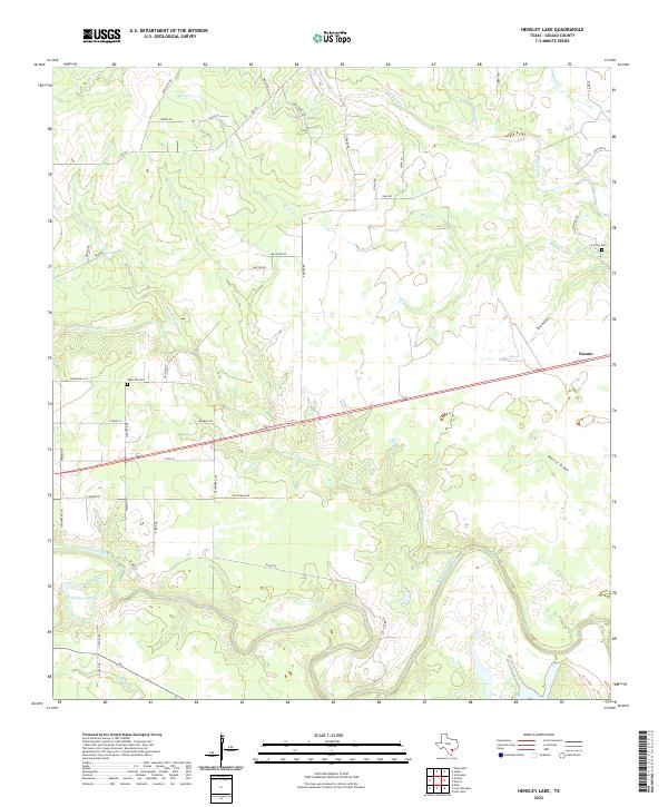
2022 Map of Hensley Lake
USGS Topo · Published 2022About this map
Fannin serves as the primary settlement center in this Goliad County landscape, where the flat coastal plains are deeply etched by a complex drainage network. The San Antonio River meanders through the southern portion of the quadrangle, joined by numerous seasonal watercourses including Manahuilla Cr and Alligator Cr. This 2022 survey captures a rural Texas environment defined by long-established property lines and family names preserved in the road network, such as Sapenter Rd and Pesek Ln. Genealogists will find the locations of Sapenter Cem and Live Oak Cem particularly useful for locating ancestral sites. The terrain is characterized by subtle elevation shifts across features like Sand Hollow and Portis Draw, illustrating the natural watershed patterns that have influenced land use and ranching in this part of Texas for generations.
Find a feature on this map
51 named features on this map. Tap any name to fly to it.
Don’t see what you’re looking for? This feature index may not catch every label — zoom into the map to look around manually.
Map Details
Editions of this 2022 Hensley Lake Map
This is the sole edition of this map. No revisions or reprints were ever made.
Other maps of this area

1953 · Beeville
USGS Topo · 1:250,000

1956 · Beeville
USGS Topo · 1:250,000

1960 · Beeville
USGS Topo · 1:250,000

1962 · Live Oak Lake
USGS Topo · 1:24,000

1962 · Fannin
USGS Topo · 1:24,000

1962 · Lott Lake
USGS Topo · 1:24,000

1962 · Melo
USGS Topo · 1:24,000

1962 · Hensley Lake
USGS Topo · 1:24,000

1962 · Goliad
USGS Topo · 1:24,000

1963 · Weesatche
USGS Topo · 1:24,000