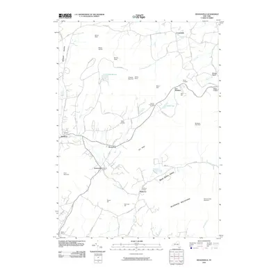
2010 Map of Hensonville
USGS Topo · Published 2010About this map
Hensonville and the surrounding Catskill highlands appear here in the early 21st century, showing a landscape defined by sharp elevation changes and deep valleys. The winding course of the Batavia Kill serves as a primary corridor for development, connecting settlements like Brooksburg and Maplecrest. Higher elevations are dominated by significant peaks such as Windham High Peak and Thomas Cole Mountain, part of the larger Blackhead Mountains range.
Find a feature on this map
71 named features on this map. Tap any name to fly to it.
Don’t see what you’re looking for? This feature index may not catch every label — zoom into the map to look around manually.
Map Details
Editions of this 2010 Hensonville Map
This is the sole edition of this map. No revisions or reprints were ever made.
Other maps of this area

1892 · Kaaterskill
USGS Topo · 1:62,500

1893 · Kaaterskill
USGS Topo · 1:62,500

1893 · Durham
USGS Topo · 1:62,500

1894 · Kaaterskill
USGS Topo · 1:62,500

1894 · Durham
USGS Topo · 1:62,500

1899 · Kaaterskill
USGS Topo · 1:62,500

1900 · Phoenicia
USGS Topo · 1:62,500

1901 · Gilboa
USGS Topo · 1:62,500

1903 · Gilboa
USGS Topo · 1:62,500

1903 · Phoenicia
USGS Topo · 1:62,500