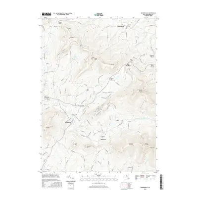
2016 Map of Hensonville
USGS Topo · Published 2016About this map
Hensonville and Maplecrest anchor the central valley of this 2016 survey, situated along the Batavia Kill drainage in the northern Catskills. The landscape is defined by massive peaks including Windham High Peak, Thomas Cole Mtn, and Black Dome, which rise sharply above the clustered settlements and mountain passes like Barlow Notch and Jennie Notch. Local history is well-preserved through several rural burial grounds, such as the Peter Van Orden Rural Cem and the Union Society Cem near Brooksburg.
Find a feature on this map
126 named features on this map. Tap any name to fly to it.
Don’t see what you’re looking for? This feature index may not catch every label — zoom into the map to look around manually.
Map Details
Editions of this 2016 Hensonville Map
This is the sole edition of this map. No revisions or reprints were ever made.
Other maps of this area

1892 · Kaaterskill
USGS Topo · 1:62,500

1893 · Kaaterskill
USGS Topo · 1:62,500

1893 · Durham
USGS Topo · 1:62,500

1894 · Kaaterskill
USGS Topo · 1:62,500

1894 · Durham
USGS Topo · 1:62,500

1899 · Kaaterskill
USGS Topo · 1:62,500

1900 · Phoenicia
USGS Topo · 1:62,500

1901 · Gilboa
USGS Topo · 1:62,500

1903 · Gilboa
USGS Topo · 1:62,500

1903 · Phoenicia
USGS Topo · 1:62,500