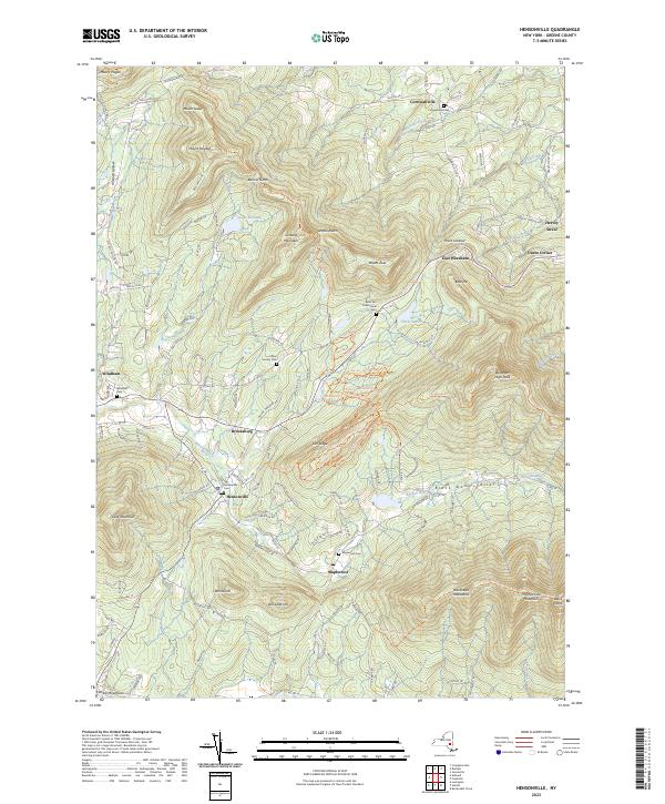
2023 Map of Hensonville
USGS Topo · Published 2023About this map
Mountaintops and deep river valleys define this portion of the Catskill Mountains, where the Batavia Kill flows through a landscape of historic hamlets and high summits. The settlement of Hensonville serves as a central point, surrounded by agricultural and residential pockets like Brooksburg and Maplecrest. The geography is remarkably vertical, climbing from the Black Dome Valley to the heights of Black Dome and Thomas Cole Mountain.
Find a feature on this map
80 named features on this map. Tap any name to fly to it.
Don’t see what you’re looking for? This feature index may not catch every label — zoom into the map to look around manually.
Map Details
Editions of this 2023 Hensonville Map
This is the sole edition of this map. No revisions or reprints were ever made.
Other maps of this area

1892 · Kaaterskill
USGS Topo · 1:62,500

1893 · Kaaterskill
USGS Topo · 1:62,500

1893 · Durham
USGS Topo · 1:62,500

1894 · Kaaterskill
USGS Topo · 1:62,500

1894 · Durham
USGS Topo · 1:62,500

1899 · Kaaterskill
USGS Topo · 1:62,500

1900 · Phoenicia
USGS Topo · 1:62,500

1901 · Gilboa
USGS Topo · 1:62,500

1903 · Gilboa
USGS Topo · 1:62,500

1903 · Phoenicia
USGS Topo · 1:62,500