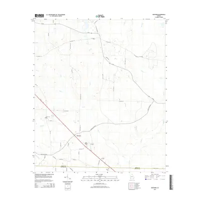
2014 Map of Hentown
USGS Topo · Published 2014About this map
Hentown and New Hope serve as central points in this rural landscape near the Early County and Miller County line. The area is characterized by a network of small family cemeteries and agricultural roads that trace the undulating terrain of Southwest Georgia. Genealogists can identify numerous local burial grounds, including Liberty Hill Cem, Bush Cem, George Cem, Dubose Cem, and Houston Cem, often situated near early settlement hubs.
Find a feature on this map
49 named features on this map. Tap any name to fly to it.
Don’t see what you’re looking for? This feature index may not catch every label — zoom into the map to look around manually.
Map Details
Editions of this 2014 Hentown Map
This is the sole edition of this map. No revisions or reprints were ever made.
Other maps of this area

1953 · Dothan
USGS Topo · 1:250,000

1954 · Dothan
USGS Topo · 1:250,000

1955 · Dothan
USGS Topo · 1:250,000
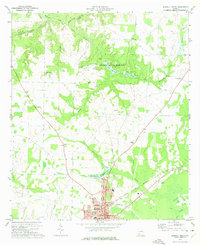
1973 · Blakely North
USGS Topo · 1:24,000
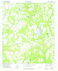
1973 · Bancroft
USGS Topo · 1:24,000
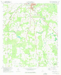
1973 · Blakely South
USGS Topo · 1:24,000
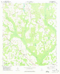
1973 · Hentown
USGS Topo · 1:24,000
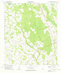
1974 · Donalsonville NE
USGS Topo · 1:24,000
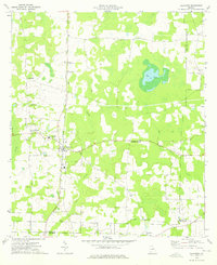
1974 · Damascus
USGS Topo · 1:24,000
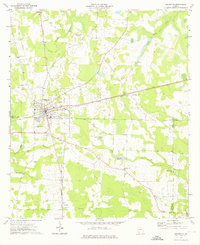
1974 · Arlington
USGS Topo · 1:24,000