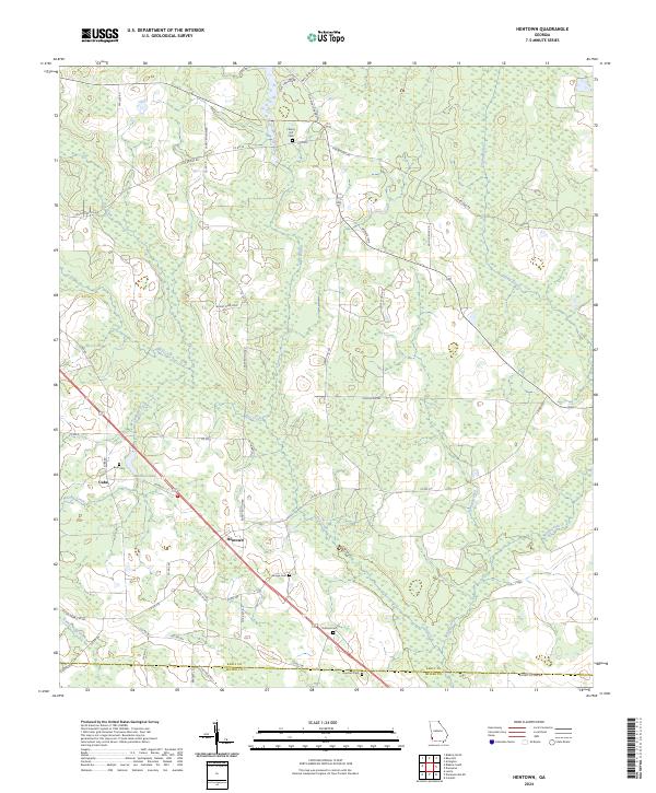
2024 Map of Hentown
USGS Topo · Published 2024About this map
The small community of Hentown and the settlement at Cuba anchor this modern-era study of the Southwest Georgia agricultural landscape. The terrain is defined by a network of drainage systems, including the southward-flowing Spring Creek and Blue Creek, which feed into the varied wetland pockets of Early Co and Miller Co. Local family legacy is preserved through several rural burial grounds scattered across the quadrangle, including Liberty Hill Cem, Bush Cem, and Dubose Cem.
Find a feature on this map
51 named features on this map. Tap any name to fly to it.
Don’t see what you’re looking for? This feature index may not catch every label — zoom into the map to look around manually.
Map Details
Editions of this 2024 Hentown Map
This is the sole edition of this map. No revisions or reprints were ever made.
Other maps of this area

1953 · Dothan
USGS Topo · 1:250,000

1954 · Dothan
USGS Topo · 1:250,000

1955 · Dothan
USGS Topo · 1:250,000

1973 · Blakely North
USGS Topo · 1:24,000

1973 · Bancroft
USGS Topo · 1:24,000

1973 · Blakely South
USGS Topo · 1:24,000

1973 · Hentown
USGS Topo · 1:24,000

1974 · Donalsonville NE
USGS Topo · 1:24,000

1974 · Damascus
USGS Topo · 1:24,000

1974 · Arlington
USGS Topo · 1:24,000