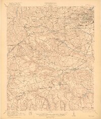
1922 Map of Hephzibah
USGS Topo · Published 1922About this map
Camp Hancock and its extensive military infrastructure dominate the northeastern corner of this landscape, situated just south of the established city grid. This 1920s-era documentation, surveyed in cooperation with the War Department, highlights the area's transition toward a permanent military and industrial presence. Beyond the cantonment and its Base Hospital, the map reveals a rural network defined by historic transportation corridors like Tobacco Road and Waynesboro Road, which connect smaller agricultural hubs such as Hephzibah and Blythe.
Find a feature on this map
81 named features on this map. Tap any name to fly to it.
Don’t see what you’re looking for? This feature index may not catch every label — zoom into the map to look around manually.
Map Details
Editions of this 1922 Hephzibah Map
3 editions found

Historical Maps of Augusta Through Time
10 maps found
1922 Hephzibah
Richmond County, GA
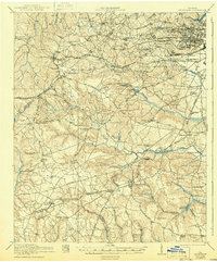
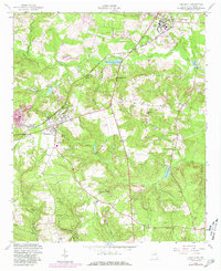
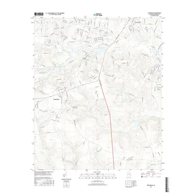
1948 Hephzibah
Richmond County, GA
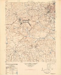
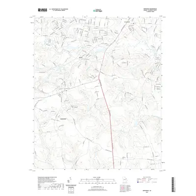
1950 Hephzibah
Richmond County, GA
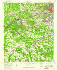
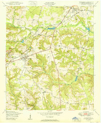
1957 Hephzibah
Richmond County, GA
1957 Hephzibah
Richmond County, GA
2011 Hephzibah
Richmond County, GA
2014 Hephzibah
Richmond County, GA
2017 Hephzibah
Richmond County, GA
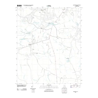
2020 Hephzibah
Richmond County, GA
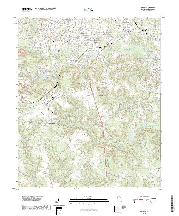
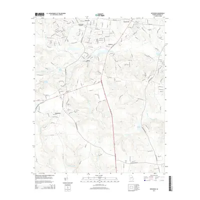
2024 Hephzibah
Richmond County, GA