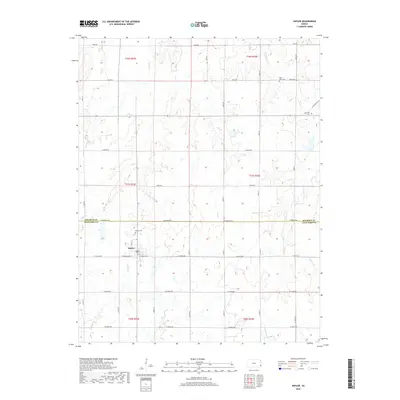
2018 Map of Hepler
USGS Topo · Published 2018About this map
Hepler sits at the intersection of rural Crawford County and Bourbon County, serving as the primary hub for this agricultural landscape. The town is flanked by a network of family and community resting places, including the Hepler Cem just to its north and Saint Mary Cem further northeast. This 2018 survey reveals a terrain defined by its watercourses, where Paint Cr and Owl Cr wind through the township sections, eventually giving way to larger drainages like Pawnee Cr and Walnut Cr. The rectilinear road network, including thoroughfares such as Arrowhead Rd and Fern Rd, dictates the movement across the prairie, connecting the small settlement to outlying landmarks like Hiattville Cem on the eastern boundary.
Find a feature on this map
29 named features on this map. Tap any name to fly to it.
Don’t see what you’re looking for? This feature index may not catch every label — zoom into the map to look around manually.
Map Details
Editions of this 2018 Hepler Map
This is the sole edition of this map. No revisions or reprints were ever made.
Other maps of this area
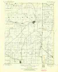
1884 · Fort Scott
USGS Topo · 1:125,000
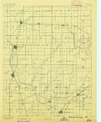
1886 · Iola
USGS Topo · 1:125,000
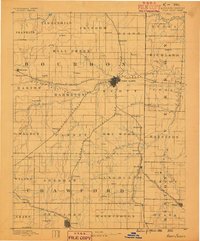
1886 · Fort Scott
USGS Topo · 1:125,000
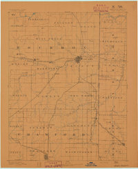
1893 · Fort Scott
USGS Topo · 1:125,000
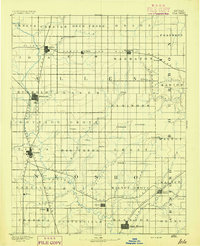
1893 · Iola
USGS Topo · 1:125,000
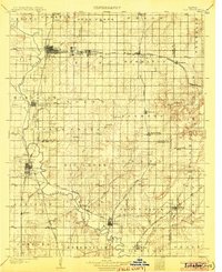
1904 · Iola
USGS Topo · 1:125,000

1947 · Joplin
USGS Topo · 1:250,000
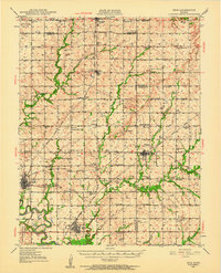
1948 · Erie
USGS Topo · 1:62,500
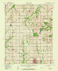
1948 · Girard
USGS Topo · 1:62,500
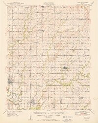
1949 · Erie
USGS Topo · 1:62,500