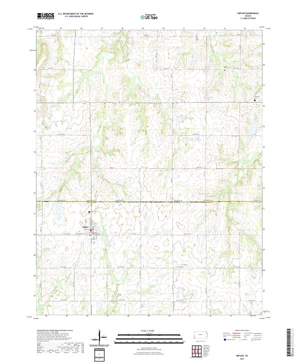
2022 Map of Hepler
USGS Topo · Published 2022About this map
Hepler serves as the primary hub of this agricultural landscape along the boundary of Bourbon and Crawford Counties. The town's grid is anchored by West Farlington Street and North Prairie Avenue, with the local Hepler Cemetery situated just to the north. This area is defined by a dense network of drainage, where numerous creeks including Paint Creek, Owl Creek, and Pawnee Creek carve through the prairie. The distribution of family-oriented landmarks across the countryside, such as Saint Mary Cemetery and Hiattville Cemetery, suggests a long-standing rural community structure. Most of the transport relies on a strict section-line road system, including routes like Cavalry Road and Arrowhead Road, which facilitate movement between the scattered farmsteads and the surrounding creek valleys.
Find a feature on this map
43 named features on this map. Tap any name to fly to it.
Don’t see what you’re looking for? This feature index may not catch every label — zoom into the map to look around manually.
Map Details
Editions of this 2022 Hepler Map
This is the sole edition of this map. No revisions or reprints were ever made.
Other maps of this area

1884 · Fort Scott
USGS Topo · 1:125,000

1886 · Iola
USGS Topo · 1:125,000

1886 · Fort Scott
USGS Topo · 1:125,000

1893 · Fort Scott
USGS Topo · 1:125,000

1893 · Iola
USGS Topo · 1:125,000

1904 · Iola
USGS Topo · 1:125,000

1947 · Joplin
USGS Topo · 1:250,000

1948 · Erie
USGS Topo · 1:62,500

1948 · Girard
USGS Topo · 1:62,500

1949 · Erie
USGS Topo · 1:62,500