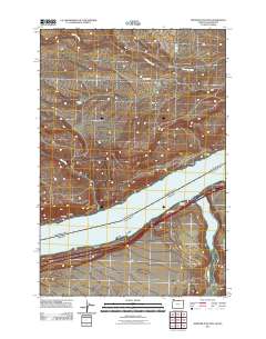
2011 Map of Heppner Junction
USGS Topo · Published 2011About this map
Columbia River frontage defines this borderland landscape between Washington and Oregon, where transportation corridors have long dictated the rhythm of local commerce. On the northern bank, small stopping points like Moonax and Moona sit near the water, while the settlement of Sixprong and the Sixprong Ranch are situated further inland along the drainage of Sixprong Creek. The presence of Heppner Junction on the southern shore highlights the area's role as a transit node, linking river traffic with road and rail networks. This 2011 survey documents the established infrastructure of the region, from the primary route of Frontage Rd to more isolated landmarks like Willow Lake and McCredie, reflecting a sparse but vital layout of ranching and river-side industry along the Columbia Gorge.
Find a feature on this map
13 named features on this map. Tap any name to fly to it.
Don’t see what you’re looking for? This feature index may not catch every label — zoom into the map to look around manually.
Map Details
Editions of this 2011 Heppner Junction Map
This is the sole edition of this map. No revisions or reprints were ever made.
Other maps of this area
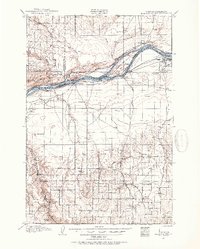
1906 · Blalock Island
USGS Topo · 1:125,000
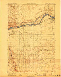
1908 · Blalock Island
USGS Topo · 1:125,000
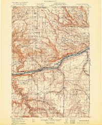
1916 · Arlington
USGS Topo · 1:125,000

1953 · Pendleton
USGS Topo · 1:250,000

1953 · The Dalles
USGS Topo · 1:250,000

1956 · The Dalles
USGS Topo · 1:250,000

1956 · Pendleton
USGS Topo · 1:250,000
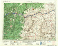
1957 · The Dalles
USGS Topo · 1:250,000
1962 · Phinny Hill
USGS Topo · 1:24,000
1962 · Alderdale
USGS Topo · 1:24,000