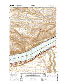
2014 Map of Heppner Junction
USGS Topo · Published 2014About this map
Lake Umatilla and the Columbia River dominate the central corridor of this quadrangle, forming the interstate boundary between Klickitat County, Washington, and Gilliam County, Oregon. The northern landscape is defined by the high elevations of Alder Ridge and the drainages of Sixprong Cr and Pine Cr, where the small settlement of Sixprong sits along Six Prong Rd. To the south, the topography transitions into the expansive Hurlburt Flats and the basin of Willow Lake. The transportation network reflects the area's role as a transit hub, anchored by the river crossing at Heppner Junction and the start of the Heppner Hwy. This alignment of highway and rail corridors following the southern bank of the Columbia suggests the historical importance of the river gap for movement between the high plateau and the Columbia Basin.
Find a feature on this map
24 named features on this map. Tap any name to fly to it.
Don’t see what you’re looking for? This feature index may not catch every label — zoom into the map to look around manually.
Map Details
Editions of this 2014 Heppner Junction Map
This is the sole edition of this map. No revisions or reprints were ever made.
Other maps of this area
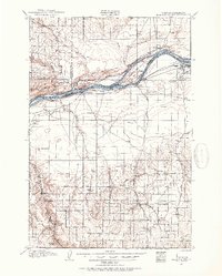
1906 · Blalock Island
USGS Topo · 1:125,000
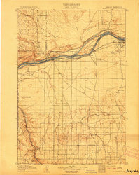
1908 · Blalock Island
USGS Topo · 1:125,000
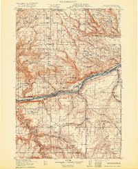
1916 · Arlington
USGS Topo · 1:125,000

1953 · Pendleton
USGS Topo · 1:250,000

1953 · The Dalles
USGS Topo · 1:250,000

1956 · The Dalles
USGS Topo · 1:250,000

1956 · Pendleton
USGS Topo · 1:250,000
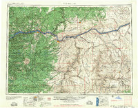
1957 · The Dalles
USGS Topo · 1:250,000
1962 · Phinny Hill
USGS Topo · 1:24,000
1962 · Alderdale
USGS Topo · 1:24,000