
2020 Map of Heppner
USGS Topo · Published 2020About this map
Heppner serves as the focal point of this Eastern Oregon landscape, situated at the confluence of several prominent drainages. The town's layout is defined by its proximity to Willow Cr and the landmark Morrow County Courthouse, with the Masonic Cem overlooking the valley from its eastern slopes. Just upstream, the Willow Creek Reservoir manages the flow of the creek, which is joined by Hinton Cr as it passes through the settlement center.
Find a feature on this map
45 named features on this map. Tap any name to fly to it.
Don’t see what you’re looking for? This feature index may not catch every label — zoom into the map to look around manually.
Map Details
Editions of this 2020 Heppner Map
This is the sole edition of this map. No revisions or reprints were ever made.
Other maps of this area

1953 · Pendleton
USGS Topo · 1:250,000

1956 · Pendleton
USGS Topo · 1:250,000
1968 · Swaggart Buttes
USGS Topo · 1:24,000
1968 · Lexington
USGS Topo · 1:24,000
1968 · Ruggs
USGS Topo · 1:24,000
1968 · Gleason Butte
USGS Topo · 1:24,000
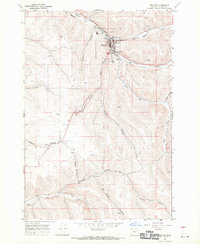
1968 · Heppner
USGS Topo · 1:24,000
1968 · Skinners Fork
USGS Topo · 1:24,000
1969 · Summerfield Ridge
USGS Topo · 1:24,000
1969 · Hardman
USGS Topo · 1:24,000