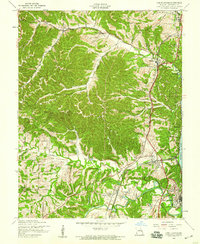
1954 Map of Herculaneum
USGS Topo · Published 1959About this map
Herculaneum and Pevely sit as significant river-corridor settlements in this 1950s survey of Jefferson County, where the Mississippi River forms the eastern boundary. The landscape is defined by the winding course of Joachim Creek and the high elevations of Sand Ridge, creating a geography of narrow valleys and isolated ridges. Industrial and transport activity is evident through the path of the St Louis Missouri Pacific and St Louis San Francisco railroads, which hug the river bluffs and cut through the creek bottoms to connect these communities.
Find a feature on this map
36 named features on this map. Tap any name to fly to it.
Don’t see what you’re looking for? This feature index may not catch every label — zoom into the map to look around manually.
Map Details
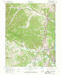
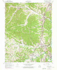
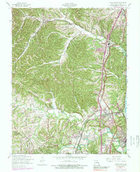
Editions of this 1954 Herculaneum Map
4 editions found
Other maps of this area

1901 · De Soto
USGS Topo · 1:125,000

1912 · Kimmswick
USGS Topo · 1:62,500

1915 · Crystal City
USGS Topo · 1:62,500

1916 · Kimmswick
USGS Topo · 1:62,500

1930 · De Soto NE
USGS Topo · 1:24,000

1930 · Pacific SE
USGS Topo · 1:24,000

1931 · Pacific NE
USGS Topo · 1:24,000

1948 · Kimmswick
USGS Topo · 1:62,500

1949 · Saint Louis
USGS Topo · 1:250,000

1949 · Crystal City
USGS Topo · 1:62,500