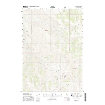
2017 Map of Herd Lake
USGS Topo · Published 2017About this map
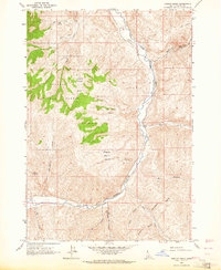
Challis National Forest land dominates this high-elevation terrain, where steep drainages and isolated water bodies define the landscape. At the center of the sheet lies Herd Lake, a significant alpine feature fed by Lake Cr and surrounded by narrow canyons. The map documents a network of primitive access routes, including Lake Basin-Hells Canyon and the Lake Basin Cutoff, which facilitate movement through the varied topography of Lake Basin and Hell Canyon. This specific survey shows the intricate drainage systems of the East and West Fork Herd Creek, illustrating how the waterway network funnels toward the primary Herd Creek corridor. Named landmarks like Pine Gulch and Bull Gulch indicate a history of local land use and geographic identification in a region otherwise characterized by its dense contour lines and lack of permanent settlements.
Find a feature on this map
28 named features on this map. Tap any name to fly to it.
Don’t see what you’re looking for? This feature index may not catch every label — zoom into the map to look around manually.
Map Details
Editions of this 2017 Herd Lake Map
This is the sole edition of this map. No revisions or reprints were ever made.
Other maps of this area
1895 · Hailey
USGS Topo · 1:125,000
1897 · Hailey
USGS Topo · 1:125,000
1929 · Bayhorse
USGS Topo · 1:125,000

1955 · Hailey
USGS Topo · 1:250,000

1957 · Challis
USGS Topo · 1:250,000

1959 · Hailey
USGS Topo · 1:250,000

1960 · Challis
USGS Topo · 1:250,000

1962 · Hailey
USGS Topo · 1:250,000

1963 · Challis
USGS Topo · 1:250,000
1963 · Ziegler Basin
USGS Topo · 1:24,000