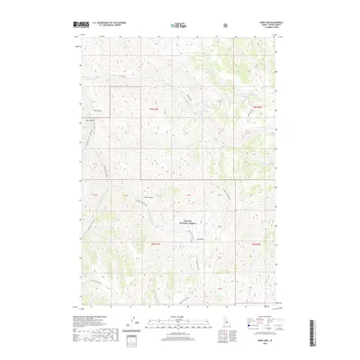
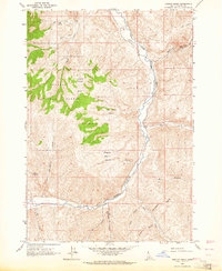
2020 Map of Herd Lake
USGS Topo · Published 2020About this map
Challis National Forest dominates this section of the Idaho backcountry, where steep drainage systems converge near the namesake Herd Lake. The landscape is defined by the significant hydraulic network of the W Fork Herd Creek and the E Fork Herd Cr, which carve through deep terrain features like Hell Canyon and Pine Gulch. Access to this high-elevation territory is traced by primitive routes such as Herd Lake Rd and several specialized tracks including the Lake Basin Cutoff and the Lake Basin-Hells Canyon road. The presence of the Lake Basin and various named gulches suggests a geography shaped by heavy seasonal runoff. This survey provides a clear look at the forest boundaries and township sections, such as t9n r19e and t8n r20e, that organize this otherwise undeveloped mountain wilderness.
Find a feature on this map
22 named features on this map. Tap any name to fly to it.
Don’t see what you’re looking for? This feature index may not catch every label — zoom into the map to look around manually.
Map Details
Editions of this 2020 Herd Lake Map
This is the sole edition of this map. No revisions or reprints were ever made.
Other maps of this area
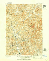
1895 · Hailey
USGS Topo · 1:125,000
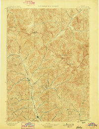
1897 · Hailey
USGS Topo · 1:125,000
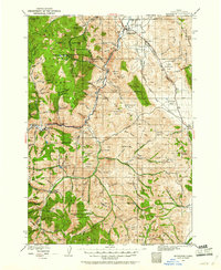
1929 · Bayhorse
USGS Topo · 1:125,000

1955 · Hailey
USGS Topo · 1:250,000

1957 · Challis
USGS Topo · 1:250,000

1959 · Hailey
USGS Topo · 1:250,000

1960 · Challis
USGS Topo · 1:250,000

1962 · Hailey
USGS Topo · 1:250,000

1963 · Challis
USGS Topo · 1:250,000
1963 · Ziegler Basin
USGS Topo · 1:24,000