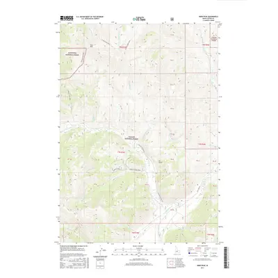
2017 Map of Herd Peak
USGS Topo · Published 2017About this map
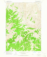
Herd Peak stands as the primary landmark in this high-elevation corner of Custer County, where the borders of the Challis National Forest and Sawtooth National Forest converge. The landscape is defined by a dense network of watercourses, including the N Fork Big Lost River and its numerous tributaries such as Bartlett Creek, Grasshopper Cr, and Chicken Cr. This 2017 survey details the complex drainage patterns of the W Fork Herd Cr and E Fork Herd Cr, illustrating the rugged topography that separates these basins.
Find a feature on this map
42 named features on this map. Tap any name to fly to it.
Don’t see what you’re looking for? This feature index may not catch every label — zoom into the map to look around manually.
Map Details
Editions of this 2017 Herd Peak Map
This is the sole edition of this map. No revisions or reprints were ever made.
Other maps of this area
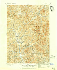
1895 · Hailey
USGS Topo · 1:125,000
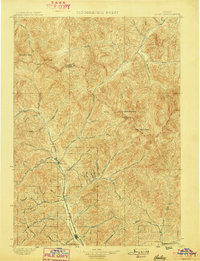
1897 · Hailey
USGS Topo · 1:125,000
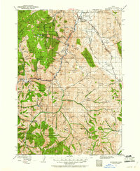
1929 · Bayhorse
USGS Topo · 1:125,000

1955 · Hailey
USGS Topo · 1:250,000

1957 · Challis
USGS Topo · 1:250,000

1959 · Hailey
USGS Topo · 1:250,000

1960 · Challis
USGS Topo · 1:250,000

1962 · Hailey
USGS Topo · 1:250,000

1963 · Challis
USGS Topo · 1:250,000
1963 · Bowery Peak
USGS Topo · 1:24,000