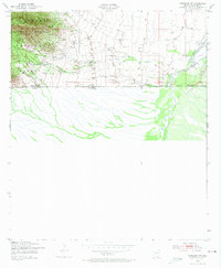
1952 Map of Hereford SW
USGS Topo · Published 1974About this map
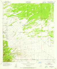
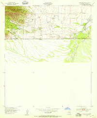
The United States Mexico international boundary defines the southern limit of this 1950s survey, where the arid landscape of Cochise County transitions from high peaks to river bottomland. To the west, the Huachuca Mountains dominate the horizon within the Coronado National Forest, rising to Bob Thompson Peak above the rugged Montezuma Canyon. These highlands provide a stark contrast to the eastern half of the map, which is characterized by the drainage of the San Pedro River as it flows north toward the interior of Arizona.
Find a feature on this map
17 named features on this map. Tap any name to fly to it.
Don’t see what you’re looking for? This feature index may not catch every label — zoom into the map to look around manually.
Map Details
Editions of this 1952 Hereford SW Map
3 editions found
Other maps of this area

1914 · Hereford
USGS Topo · 1:125,000

1922 · Sunnyside
USGS Topo · 1:62,500

1932 · Stark
USGS Topo · 1:62,500

1938 · Sunnyside
USGS Topo · 1:62,500

1948 · Miller Peak
USGS Topo · 1:24,000

1948 · Sunnyside SE
USGS Topo · 1:24,000
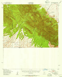
1948 · Sunnyside
USGS Topo · 1:62,500
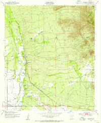
1952 · Hereford
USGS Topo · 1:24,000
1952 · Nicksville
USGS Topo · 1:24,000
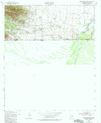
1952 · Hereford SW
USGS Topo · 1:24,000