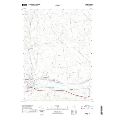
2019 Map of Herkimer
USGS Topo · Published 2019About this map
The Mohawk River and the Erie Canal corridor define the industrial and transit-oriented character of this Herkimer County landscape. Concentrated settlement patterns are visible in the villages of Herkimer, Mohawk, and East Herkimer, where the Herkimer County Office and Court Facility serves as a regional civic anchor. The southern portion of the map is dominated by the heavy infrastructure of the New York State Thruway and the rail lines that parallel the ancient Mohawk Valley water gap.
Find a feature on this map
99 named features on this map. Tap any name to fly to it.
Don’t see what you’re looking for? This feature index may not catch every label — zoom into the map to look around manually.
Map Details
Editions of this 2019 Herkimer Map
This is the sole edition of this map. No revisions or reprints were ever made.
Other maps of this area

1898 · Utica
USGS Topo · 1:62,500

1900 · Little Falls
USGS Topo · 1:62,500

1900 · Utica
USGS Topo · 1:62,500

1903 · Richfield Springs
USGS Topo · 1:62,500

1903 · Little Falls
USGS Topo · 1:62,500

1907 · Winfield
USGS Topo · 1:62,500

1939 · Little Falls
USGS Topo · 1:62,500

1943 · Newport
USGS Topo · 1:24,000

1943 · Jordanville
USGS Topo · 1:24,000
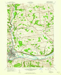
1943 · Herkimer
USGS Topo · 1:24,000