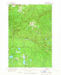
1955 Map of Herman
USGS Topo · Published 1965About this map
The Baraga State Forest dominates the interior of the Upper Peninsula in the mid-1950s, characterized by a network of logging roads and remote outposts. The settlement of Herman serves as a local hub, featuring the Herman Cem and a nearby lookout tower, while the village of Alberta sits along the Plumbago Creek. These small communities are connected by the Duluth South Shore and Atlantic railroad, which skirts the southern reaches through Nestoria.
Find a feature on this map
53 named features on this map. Tap any name to fly to it.
Don’t see what you’re looking for? This feature index may not catch every label — zoom into the map to look around manually.
Map Details
Editions of this 1955 Herman Map
3 editions found
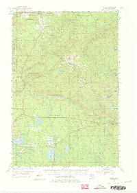
Other maps of this area

1895 · Ned Lake
USGS Topo · 1:62,500

1895 · Perch Lake
USGS Topo · 1:62,500

1899 · Witbeck
USGS Topo · 1:62,500

1954 · Skanee
USGS Topo · 1:62,500

1954 · Keweenaw Bay
USGS Topo · 1:62,500

1954 · Perch Lake
USGS Topo · 1:62,500

1954 · Pelkie
USGS Topo · 1:62,500

1954 · Sidnaw
USGS Topo · 1:62,500

1955 · Ned Lake
USGS Topo · 1:62,500

1955 · Herman
USGS Topo · 1:62,500