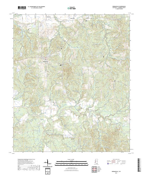
2024 Map of Hermanville
USGS Topo · Published 2024About this map
Hermanville and the surrounding Claiborne County countryside are defined by a complex network of creeks and small family burial grounds. The landscape is deeply carved by the waters of Little Bayou Pierre, Booths Creek, and Clarks Creek, creating a varied topography that includes the evocatively named Valley of the Moon. The Natchez Trace Parkway cuts across the northwest corner, following the ancient path through the region near Saint Elmo. For local historians and genealogists, this map is a detailed record of rural family sites, documenting numerous small cemeteries such as Cherry Farm Cem, Old Mount Tro Grove Cem, and French Cem located along the winding roads. The presence of the Valley of the Moon Airport and small hamlets like Barland illustrate the enduring, quiet character of this Mississippi interior.
Find a feature on this map
51 named features on this map. Tap any name to fly to it.
Don’t see what you’re looking for? This feature index may not catch every label — zoom into the map to look around manually.
Map Details
Editions of this 2024 Hermanville Map
This is the sole edition of this map. No revisions or reprints were ever made.
Other maps of this area

1939 · Yokena
USGS Topo · 1:62,500

1953 · Natchez
USGS Topo · 1:250,000

1955 · Jackson
USGS Topo · 1:250,000

1956 · Natchez
USGS Topo · 1:250,000

1959 · Natchez
USGS Topo · 1:250,000

1961 · Jackson
USGS Topo · 1:250,000

1962 · Jackson
USGS Topo · 1:250,000

1962 · Utica West
USGS Topo · 1:24,000

1963 · Carlisle
USGS Topo · 1:24,000

1963 · Port Gibson
USGS Topo · 1:24,000