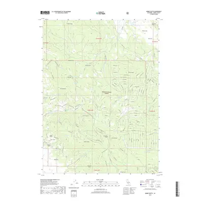
2018 Map of Hermit Butte
USGS Topo · Published 2018About this map
Modoc National Forest encompasses this high-elevation landscape in northeastern California, defined by a series of prominent volcanic ridges and deep drainage gulches. The terrain is dominated by Ballard Ridge and Portuguese Ridge in the north, while the central portion is marked by the eponymous Hermit Butte. Water sources are critical in this environment, represented by widely dispersed features such as White Reservoir, Jackknife Spring, and Jackson Cabin Spring.
Find a feature on this map
124 named features on this map. Tap any name to fly to it.
Don’t see what you’re looking for? This feature index may not catch every label — zoom into the map to look around manually.
Map Details
Editions of this 2018 Hermit Butte Map
This is the sole edition of this map. No revisions or reprints were ever made.
Other maps of this area

1886 · Alturas
USGS Topo · 1:250,000

1892 · Alturas
USGS Topo · 1:250,000

1954 · Alturas
USGS Topo · 1:250,000

1958 · Alturas
USGS Topo · 1:250,000

1961 · Canby
USGS Topo · 1:62,500

1961 · Alturas
USGS Topo · 1:62,500

1962 · Alturas
USGS Topo · 1:250,000
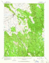
1962 · Adin
USGS Topo · 1:62,500

1962 · Likely
USGS Topo · 1:62,500

1965 · Alturas
USGS Topo · 1:250,000