
1961 Map of Alturas
USGS Topo · Published 1963About this map
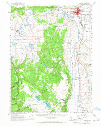
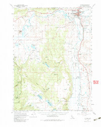
The high-desert seat of Modoc County, Alturas, serves as the primary hub for this 1961 survey, where the North Fork Pit River and South Fork Pit River converge. The town's infrastructure at this time is clearly defined, featuring the Modoc Union High Sch, the Municipal Airport, and nearby McArthur Grain Elevators along the Southern Pacific railroad line. South of the main settlement, the Modoc National Wildlife Refuge stretches along the river basin, providing a distinct contrast to the surrounding high plains and ridges.
Find a feature on this map
68 named features on this map. Tap any name to fly to it.
Don’t see what you’re looking for? This feature index may not catch every label — zoom into the map to look around manually.
Map Details
Editions of this 1961 Alturas Map
3 editions found
Other maps of this area

1886 · Alturas
USGS Topo · 1:250,000

1892 · Alturas
USGS Topo · 1:250,000

1954 · Alturas
USGS Topo · 1:250,000

1958 · Alturas
USGS Topo · 1:250,000

1961 · Canby
USGS Topo · 1:62,500

1962 · Alturas
USGS Topo · 1:250,000

1962 · Davis Creek
USGS Topo · 1:62,500
1962 · Adin
USGS Topo · 1:62,500

1962 · Tule Mountain
USGS Topo · 1:24,000

1962 · Big Sage Reservoir
USGS Topo · 1:62,500