
1962 Map of Tule Mountain
USGS Topo · Published 1964About this map
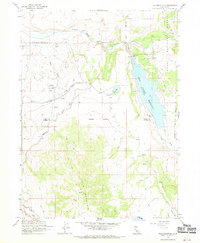
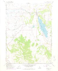
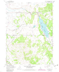
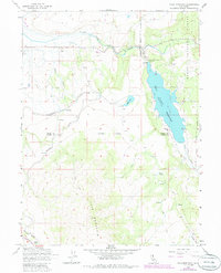
Tule Mountain dominates the southern landscape of this 1962 survey, rising sharply above the Modoc Co Lassen Co boundary. The northern portion of the map is defined by the hydrologic network of the South Fork Pit River and the extensive West Valley Reservoir, which is fed by West Valley Creek. This area shows a transition between industrial-scale water management and tribal land use, notably featuring the Likely Rancheria near the western edge.
Find a feature on this map
24 named features on this map. Tap any name to fly to it.
Don’t see what you’re looking for? This feature index may not catch every label — zoom into the map to look around manually.
Map Details
Editions of this 1962 Tule Mountain Map
5 editions found
Other maps of this area

1886 · Alturas
USGS Topo · 1:250,000

1892 · Alturas
USGS Topo · 1:250,000

1954 · Alturas
USGS Topo · 1:250,000

1958 · Alturas
USGS Topo · 1:250,000

1961 · Alturas
USGS Topo · 1:62,500

1962 · Alturas
USGS Topo · 1:250,000
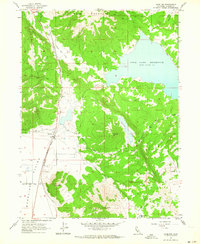
1962 · Madeline
USGS Topo · 1:24,000
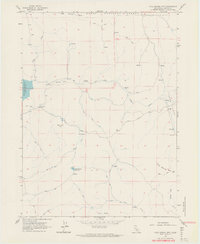
1962 · Cold Spring Mtn
USGS Topo · 1:24,000

1962 · Jess Valley
USGS Topo · 1:24,000

1962 · Likely
USGS Topo · 1:62,500