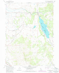
1962 Map of Tule Mountain
USGS Topo · Published 1985About this map
The West Valley Reservoir dominates this high-altitude landscape on the border of Modoc and Lassen counties, with its waters held back by the West Valley Dam. This 1962 field-checked survey, updated in the early 1980s, captures a rugged transition between the valley floor and the volcanic prominence of Tule Mountain to the south. The area's ranching and transit history is visible through scattered landmarks like the West Valley Ranch and a remote Cem located west of Warm Creek.
Find a feature on this map
28 named features on this map. Tap any name to fly to it.
Don’t see what you’re looking for? This feature index may not catch every label — zoom into the map to look around manually.
Map Details
Editions of this 1962 Tule Mountain Map
5 editions found
Other maps of this area

1886 · Alturas
USGS Topo · 1:250,000

1892 · Alturas
USGS Topo · 1:250,000

1954 · Alturas
USGS Topo · 1:250,000

1958 · Alturas
USGS Topo · 1:250,000

1961 · Alturas
USGS Topo · 1:62,500

1962 · Alturas
USGS Topo · 1:250,000

1962 · Tule Mountain
USGS Topo · 1:24,000
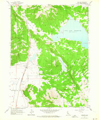
1962 · Madeline
USGS Topo · 1:24,000
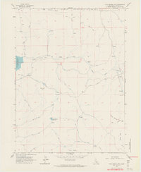
1962 · Cold Spring Mtn
USGS Topo · 1:24,000

1962 · Jess Valley
USGS Topo · 1:24,000