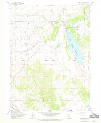
1962 Map of Tule Mountain
USGS Topo · Published 1970About this map
Likely Rancheria and the high-desert terrain of northern California define this mid-century landscape at the border of Modoc and Lassen counties. The region's water resources are central to the map, dominated by the West Valley Reservoir and its associated West Valley Dam. The South Fork Pit River flows through the northern reaches, supported by numerous Springs and ephemeral drainages like Warm Creek and Cedar Creek.
Find a feature on this map
23 named features on this map. Tap any name to fly to it.
Don’t see what you’re looking for? This feature index may not catch every label — zoom into the map to look around manually.
Map Details
Editions of this 1962 Tule Mountain Map
5 editions found
Other maps of this area

1886 · Alturas
USGS Topo · 1:250,000

1892 · Alturas
USGS Topo · 1:250,000

1954 · Alturas
USGS Topo · 1:250,000

1958 · Alturas
USGS Topo · 1:250,000

1961 · Alturas
USGS Topo · 1:62,500

1962 · Alturas
USGS Topo · 1:250,000

1962 · Tule Mountain
USGS Topo · 1:24,000
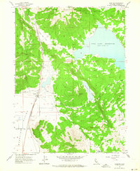
1962 · Madeline
USGS Topo · 1:24,000
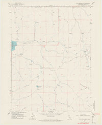
1962 · Cold Spring Mtn
USGS Topo · 1:24,000

1962 · Jess Valley
USGS Topo · 1:24,000