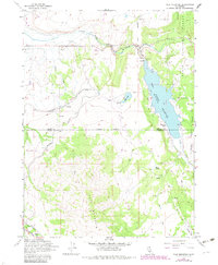
1962 Map of Tule Mountain
USGS Topo · Published 1983About this map
Tule Mountain anchors this high-elevation landscape in the early 1960s, a region defined by the intersection of water management and timberland. The West Valley Reservoir dominates the eastern portion of the map, held by the West Valley Dam and flanked by the Modoc National Forest. This era shows a transition in land use, where the Southern Pacific railroad cuts across the western flats near a small Cem and various Springs, serving the cattle and timber interests that define the Modoc and Lassen county border.
Find a feature on this map
26 named features on this map. Tap any name to fly to it.
Don’t see what you’re looking for? This feature index may not catch every label — zoom into the map to look around manually.
Map Details
Editions of this 1962 Tule Mountain Map
5 editions found
Other maps of this area

1886 · Alturas
USGS Topo · 1:250,000

1892 · Alturas
USGS Topo · 1:250,000

1954 · Alturas
USGS Topo · 1:250,000

1958 · Alturas
USGS Topo · 1:250,000

1961 · Alturas
USGS Topo · 1:62,500

1962 · Alturas
USGS Topo · 1:250,000

1962 · Tule Mountain
USGS Topo · 1:24,000
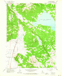
1962 · Madeline
USGS Topo · 1:24,000
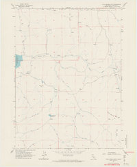
1962 · Cold Spring Mtn
USGS Topo · 1:24,000

1962 · Jess Valley
USGS Topo · 1:24,000