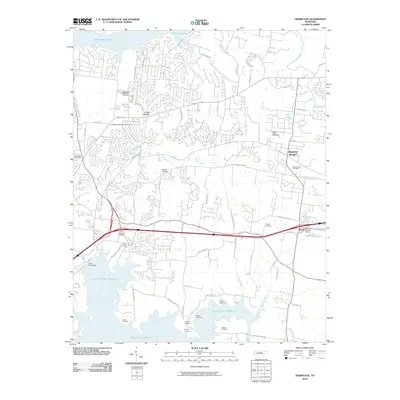
2010 Map of Hermitage
USGS Topo · Published 2010About this map
The suburban landscape east of Nashville is dominated by the extensive impoundments of Old Hickory Lake and the J Percy Priest Reservoir. This 2010 survey shows the residential growth of Mount Juliet and the area surrounding the Hermitage Post Office. For local historians and genealogists, the map is remarkably dense with family-named burial grounds and historical sites, including the Confederate Memorial Cemetery and the Hermitage Memorial Gardens. Smaller, older plots like the Cowgill Cemetery, Gleaves Cemetery, and Fuqua Cemetery are preserved amidst modern developments. The topography is defined by the winding paths of Stoners Creek and Dry Fork, while the local infrastructure is anchored by landmarks such as the J Percy Priest Dam and the Hidden Cove Lake Dam. Smaller communities and junctions like Scotts Hollow and Seven Points offer insight into the rural-to-suburban transition of the region.
Find a feature on this map
69 named features on this map. Tap any name to fly to it.
Don’t see what you’re looking for? This feature index may not catch every label — zoom into the map to look around manually.
Map Details
Editions of this 2010 Hermitage Map
This is the sole edition of this map. No revisions or reprints were ever made.
Other maps of this area

1903 · Nashville
USGS Topo · 1:125,000

1932 · Hermitage
USGS Topo · 1:62,500

1942 · Gallatin
USGS Topo · 1:100,000

1942 · Lebanon
USGS Topo · 1:100,000

1951 · Martha
USGS Topo · 1:24,000

1952 · Goodlettsville
USGS Topo · 1:24,000

1952 · Hendersonville
USGS Topo · 1:24,000

1952 · Hermitage
USGS Topo · 1:24,000

1952 · La Vergne
USGS Topo · 1:24,000

1952 · Nashville East
USGS Topo · 1:24,000