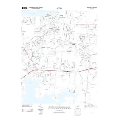
2013 Map of Hermitage
USGS Topo · Published 2013About this map
The Cumberland River and the J Percy Priest Reservoir define this suburban landscape in Davidson County, where residential developments like Sherwood Forest and Indian Lake Farms have expanded into formerly agricultural lands. The community of Hermitage sits at the heart of this region, surrounded by a high density of established neighborhoods including Tulip Grove, Monticello, and Pleasant Grove. This 2013 survey illustrates the dense network of modern roads and subdivisions that characterize the area's growth, though older landmarks such as Hunters Store and the topographic high of Seven Points remain as points of reference. The map details the complex drainage systems of Stoners Cr and Dry Fork, showing how the local hydrology interacts with the built environment of Moreland Farms and Highland Heights.
Find a feature on this map
321 named features on this map. Tap any name to fly to it.
Don’t see what you’re looking for? This feature index may not catch every label — zoom into the map to look around manually.
Map Details
Editions of this 2013 Hermitage Map
This is the sole edition of this map. No revisions or reprints were ever made.
Other maps of this area

1903 · Nashville
USGS Topo · 1:125,000

1932 · Hermitage
USGS Topo · 1:62,500

1942 · Gallatin
USGS Topo · 1:100,000

1942 · Lebanon
USGS Topo · 1:100,000

1951 · Martha
USGS Topo · 1:24,000

1952 · Goodlettsville
USGS Topo · 1:24,000

1952 · Hendersonville
USGS Topo · 1:24,000

1952 · Hermitage
USGS Topo · 1:24,000

1952 · La Vergne
USGS Topo · 1:24,000

1952 · Nashville East
USGS Topo · 1:24,000