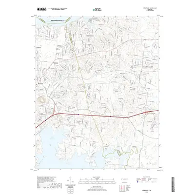
2019 Map of Hermitage
USGS Topo · Published 2019About this map
The J Percy Priest Reservoir dominates the southern landscape of this 2019 survey, where the waters of the Stoners River and Vivrett Cr reach into the suburban sprawl between Hermitage and Mount Juliet. This area, deeply tied to Tennessee's early statehood, shows a modern network of transit anchored by Lebanon Rd and Central Pike.
Find a feature on this map
39 named features on this map. Tap any name to fly to it.
Don’t see what you’re looking for? This feature index may not catch every label — zoom into the map to look around manually.
Map Details
Editions of this 2019 Hermitage Map
This is the sole edition of this map. No revisions or reprints were ever made.
Other maps of this area

1903 · Nashville
USGS Topo · 1:125,000

1932 · Hermitage
USGS Topo · 1:62,500

1942 · Gallatin
USGS Topo · 1:100,000

1942 · Lebanon
USGS Topo · 1:100,000

1951 · Martha
USGS Topo · 1:24,000

1952 · Goodlettsville
USGS Topo · 1:24,000

1952 · Hendersonville
USGS Topo · 1:24,000

1952 · Hermitage
USGS Topo · 1:24,000

1952 · La Vergne
USGS Topo · 1:24,000

1952 · Nashville East
USGS Topo · 1:24,000