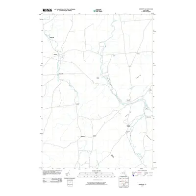
2010 Map of Hermon
USGS Topo · Published 2010About this map
Hermon and Russell serve as the primary hubs of this North Country landscape, where the Grass River and its various tributaries have shaped the local settlement patterns. The map highlights a network of established hamlets and crossroads, such as Stellaville and Marshville along Elm Creek, reflecting a tradition of dispersed rural communities. The nomenclature of the region is deeply tied to landownership and geography, evidenced by numerous named intersections like Fordhams Corners, Putnams Corners, and Derbys Corners.
Find a feature on this map
30 named features on this map. Tap any name to fly to it.
Don’t see what you’re looking for? This feature index may not catch every label — zoom into the map to look around manually.
Map Details
Editions of this 2010 Hermon Map
This is the sole edition of this map. No revisions or reprints were ever made.
Other maps of this area
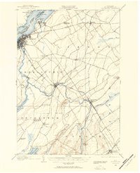
1904 · Ogdensburg
USGS Topo · 1:62,500
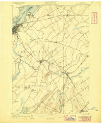
1905 · Ogdensburg
USGS Topo · 1:62,500
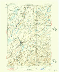
1910 · Canton
USGS Topo · 1:62,500
1911 · Canton
USGS Topo · 1:62,500
1915 · Gouverneur
USGS Topo · 1:62,500
1915 · Russell
USGS Topo · 1:62,500
1918 · Russell
USGS Topo · 1:62,500
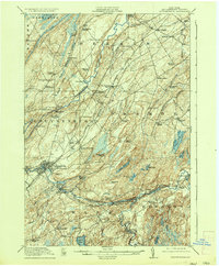
1937 · Gouverneur
USGS Topo · 1:62,500
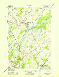
1943 · Rensselaer Falls
USGS Topo · 1:31,680
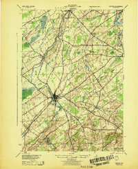
1944 · Canton
USGS Topo · 1:62,500