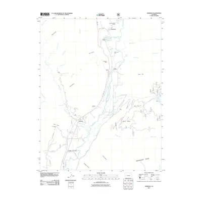
2011 Map of Hermosa
USGS Topo · Published 2011About this map
The Animas River corridor north of Durango is defined by its deep canyons and water management infrastructure, as seen in this 2011 survey. The valley floor contains the established settlements of Hermosa, Rockwood, and Trimble, which are supported by complex irrigation systems including the Animas Valley Consolidated Ditch and the Reid Ditch. These waterways reflect the agricultural and utility history of La Plata County, while the Warner Number 5 Dam and Keeler Dam further upstream manage the region's reservoirs.
Find a feature on this map
65 named features on this map. Tap any name to fly to it.
Don’t see what you’re looking for? This feature index may not catch every label — zoom into the map to look around manually.
Map Details
Editions of this 2011 Hermosa Map
This is the sole edition of this map. No revisions or reprints were ever made.
Other maps of this area

1898 · Durango
USGS Topo · 1:62,500

1898 · Engineer Mountain
USGS Topo · 1:62,500

1900 · Engineer Mountain
USGS Topo · 1:62,500

1900 · Needle Mountains
USGS Topo · 1:62,500

1902 · Needle Mountains
USGS Topo · 1:62,500

1907 · Durango
USGS Topo · 1:62,500

1908 · Engineer Mountain
USGS Topo · 1:62,500

1908 · Ignacio
USGS Topo · 1:125,000

1908 · Durango
USGS Topo · 1:62,500

1924 · Ignacio
USGS Topo · 1:125,000