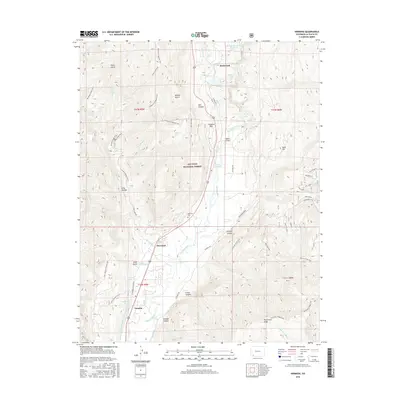
2016 Map of Hermosa
USGS Topo · Published 2016About this map
The Animas River valley serves as the primary corridor for settlement and transit through this portion of the San Juan National Forest. Communities such as Hermosa, Trimble, and Rockwood are positioned along the river's path, mirroring the route of the Durango & Silverton Narrow Gauge RR. The landscape is notable for its geothermal features, including Pinkerton Hot Springs, Tripp Hot Springs, and Trimble Hot Springs, which point to the region's long-standing appeal as a destination for travelers and residents alike.
Find a feature on this map
58 named features on this map. Tap any name to fly to it.
Don’t see what you’re looking for? This feature index may not catch every label — zoom into the map to look around manually.
Map Details
Editions of this 2016 Hermosa Map
This is the sole edition of this map. No revisions or reprints were ever made.
Other maps of this area

1898 · Durango
USGS Topo · 1:62,500

1898 · Engineer Mountain
USGS Topo · 1:62,500

1900 · Engineer Mountain
USGS Topo · 1:62,500

1900 · Needle Mountains
USGS Topo · 1:62,500

1902 · Needle Mountains
USGS Topo · 1:62,500

1907 · Durango
USGS Topo · 1:62,500

1908 · Engineer Mountain
USGS Topo · 1:62,500

1908 · Ignacio
USGS Topo · 1:125,000

1908 · Durango
USGS Topo · 1:62,500

1924 · Ignacio
USGS Topo · 1:125,000