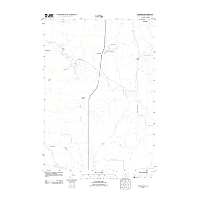
2012 Map of Hermosa NW
USGS Topo · Published 2012About this map
Spring Cr meanders through this portion of Pennington County, defining a landscape of canyons and high ridges northwest of Hermosa. The drainage patterns are marked by evocatively named features such as Moonshine Canyon, Prairie Chicken Draw, and Coyote Draw, reflecting the local character and natural history of the Black Hills foothills. The settlement of Ajax sits near the southern edge of the map, positioned where the terrain begins to transition.
Find a feature on this map
25 named features on this map. Tap any name to fly to it.
Don’t see what you’re looking for? This feature index may not catch every label — zoom into the map to look around manually.
Map Details
Editions of this 2012 Hermosa NW Map
This is the sole edition of this map. No revisions or reprints were ever made.
Other maps of this area

1893 · Rapid
USGS Topo · 1:125,000

1894 · Hermosa
USGS Topo · 1:125,000

1898 · Rapid
USGS Topo · 1:125,000

1901 · Hermosa
USGS Topo · 1:125,000

1903 · Rapid
USGS Topo · 1:125,000

1953 · Boxelder
USGS Topo · 1:24,000

1953 · Hermosa NW
USGS Topo · 1:24,000

1953 · Rapid City East
USGS Topo · 1:24,000

1953 · Hermosa
USGS Topo · 1:24,000

1953 · Rapid City West
USGS Topo · 1:24,000