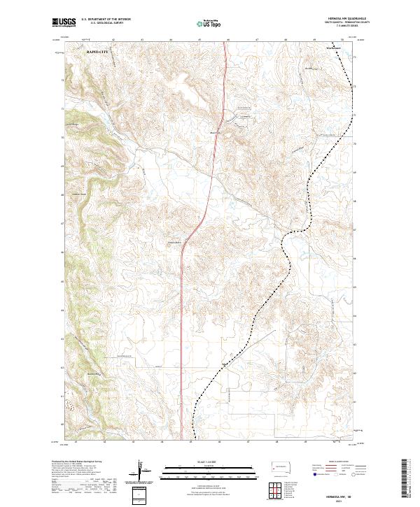
2021 Map of Hermosa NW
USGS Topo · Published 2021About this map
Rapid City anchors the northwestern corner of this South Dakota landscape, where the urban edge meets the complex topography of Pennington County. The terrain is defined by a series of significant ridges and draws, including Spiken Ridge and Murphy Ridge, which channel the flow of Spring Creek and its many tributaries. This 2021 survey reveals a transition from organized municipal development to more rural ranching and residential tracts, connected by named corridors like Ambush Ranch Rd and Old Folsom Rd.
Find a feature on this map
41 named features on this map. Tap any name to fly to it.
Don’t see what you’re looking for? This feature index may not catch every label — zoom into the map to look around manually.
Map Details
Editions of this 2021 Hermosa NW Map
This is the sole edition of this map. No revisions or reprints were ever made.
Other maps of this area

1893 · Rapid
USGS Topo · 1:125,000

1894 · Hermosa
USGS Topo · 1:125,000

1898 · Rapid
USGS Topo · 1:125,000

1901 · Hermosa
USGS Topo · 1:125,000

1903 · Rapid
USGS Topo · 1:125,000

1953 · Boxelder
USGS Topo · 1:24,000

1953 · Hermosa NW
USGS Topo · 1:24,000

1953 · Rapid City East
USGS Topo · 1:24,000

1953 · Hermosa
USGS Topo · 1:24,000

1953 · Rapid City West
USGS Topo · 1:24,000