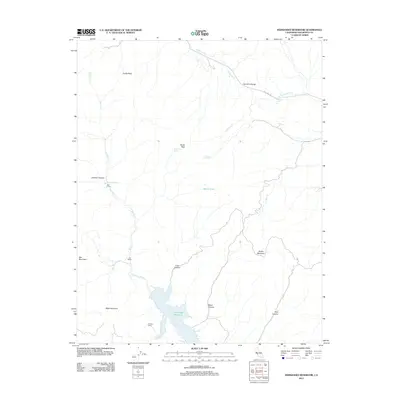
2012 Map of Hernandez Reservoir
USGS Topo · Published 2012About this map
Hernandez Reservoir serves as a central hydrological feature in this portion of San Benito County, where the San Benito River is impounded amidst a rugged network of canyons and peaks. The map reveals a landscape defined by dramatic geological formations such as the Syncline Divide and prominent heights like Tucker Mountain and Black Mountain. Traces of human presence and historical ranching activity appear through small-scale landmarks such as The Adobe, Harrison Cabin, and the Red Corral. The northeastern sector is traversed by New Idria Rd, indicating the historical transit corridor leading toward the mercury mining districts just beyond this quadrangle. Numerous springs, including Bucks Peak Spring and Ashurst Spring, highlight the critical importance of water sources in this dry, interior coastal range terrain.
Find a feature on this map
25 named features on this map. Tap any name to fly to it.
Don’t see what you’re looking for? This feature index may not catch every label — zoom into the map to look around manually.
Map Details
Editions of this 2012 Hernandez Reservoir Map
This is the sole edition of this map. No revisions or reprints were ever made.
Other maps of this area

1913 · Panoche
USGS Topo · 1:125,000

1915 · Priest Valley
USGS Topo · 1:125,000

1943 · New Idria
USGS Topo · 1:62,500

1943 · Hernandez Valley
USGS Topo · 1:62,500

1944 · Hernandez Valley
USGS Topo · 1:62,500

1944 · Panoche Valley
USGS Topo · 1:62,500

1948 · Santa Cruz
USGS Topo · 1:250,000

1955 · Santa Cruz
USGS Topo · 1:250,000
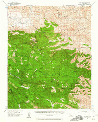
1956 · New Idria
USGS Topo · 1:62,500
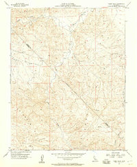
1956 · Tumey Hills
USGS Topo · 1:24,000