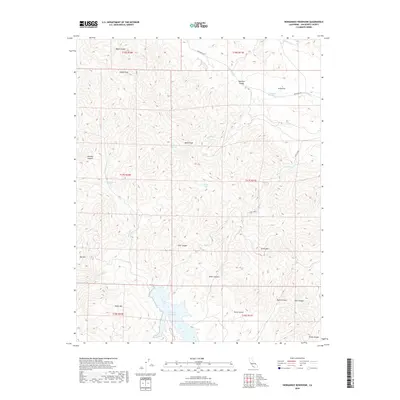
2018 Map of Hernandez Reservoir
USGS Topo · Published 2018About this map
The San Benito River carves through this portion of the Diablo Range in San Benito County, feeding into the prominent Hernandez Reservoir at the south end of the map. This landscape is defined by its complex drainage systems and named ridges, including Syncline Divide and the elevation of Bucks Peak. Several perennial water sources are identified, such as Ashurst Spring, Bucks Peak Spring, and Red Corral Spring, which likely supported early ranching or travel through these hills. Transportation in the area is largely limited to the New Idria Rd and Dogwood Lateral Six, reflecting the area's transition into more isolated terrain. Notable landmarks like Castle Rock and Tucker Mtn provide essential reference points for navigating the canyons, including Cane Canyon and Baker Canyon, which intersect the river valley.
Find a feature on this map
32 named features on this map. Tap any name to fly to it.
Don’t see what you’re looking for? This feature index may not catch every label — zoom into the map to look around manually.
Map Details
Editions of this 2018 Hernandez Reservoir Map
This is the sole edition of this map. No revisions or reprints were ever made.
Other maps of this area

1913 · Panoche
USGS Topo · 1:125,000

1915 · Priest Valley
USGS Topo · 1:125,000

1943 · New Idria
USGS Topo · 1:62,500

1943 · Hernandez Valley
USGS Topo · 1:62,500

1944 · Hernandez Valley
USGS Topo · 1:62,500

1944 · Panoche Valley
USGS Topo · 1:62,500

1948 · Santa Cruz
USGS Topo · 1:250,000

1955 · Santa Cruz
USGS Topo · 1:250,000
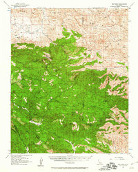
1956 · New Idria
USGS Topo · 1:62,500
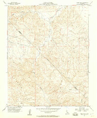
1956 · Tumey Hills
USGS Topo · 1:24,000