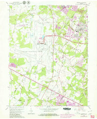
1966 Map of Herndon
USGS Topo · Published 1980About this map
Dulles International Airport dominates the central landscape of this Northern Virginia survey, which captures the region during a period of rapid suburban expansion. The transition from agricultural roots to a modern transportation hub is evident in the proximity of Sully Plantation to the airport’s sprawling runways and parking facilities. To the east and south, established communities like Herndon and Chantilly are shown alongside newer developments like Sterling Park and Greenbriar.
Find a feature on this map
75 named features on this map. Tap any name to fly to it.
Don’t see what you’re looking for? This feature index may not catch every label — zoom into the map to look around manually.
Map Details
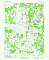
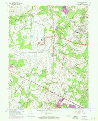
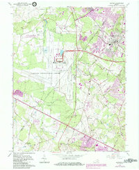
Editions of this 1966 Herndon Map
4 editions found
Other maps of this area

1884 · Harpers Ferry
USGS Topo · 1:125,000

1890 · Mt. Vernon
USGS Topo · 1:125,000

1891 · Harpers Ferry
USGS Topo · 1:125,000

1891 · Mt. Vernon
USGS Topo · 1:125,000

1893 · Frederick
USGS Topo · 1:125,000

1893 · Harpers Ferry
USGS Topo · 1:125,000

1894 · Warrenton
USGS Topo · 1:125,000

1894 · Frederick
USGS Topo · 1:125,000

1894 · Mt. Vernon
USGS Topo · 1:125,000

1897 · Mt. Vernon
USGS Topo · 1:125,000