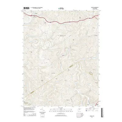
2014 Map of Herold
USGS Topo · Published 2014About this map
The Birch River carves a winding path through the central hills of this West Virginia landscape, creating a topographic corridor for small settlements like Herold, Wade, and Morris. In the northern portion of the map, the Elk River serves as a primary geographic anchor near Rockton, where the Kenton Meadows Senior Bridge spans the water. The transport history of the region is evident in the presence of Astor Siding, hinting at the rail infrastructure that once supported local industry and commerce along the riverbanks.
Find a feature on this map
89 named features on this map. Tap any name to fly to it.
Don’t see what you’re looking for? This feature index may not catch every label — zoom into the map to look around manually.
Map Details
Editions of this 2014 Herold Map
This is the sole edition of this map. No revisions or reprints were ever made.
Other maps of this area

1889 · Nicholas
USGS Topo · 1:125,000

1891 · Nicholas
USGS Topo · 1:125,000

1893 · Sutton
USGS Topo · 1:125,000

1901 · Nicholas
USGS Topo · 1:125,000
1908 · Gassaway
USGS Topo · 1:48,000
1908 · Sutton
USGS Topo · 1:48,000
1910 · Sutton Special
USGS Topo · 1:62,500
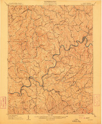
1910 · Gassaway
USGS Topo · 1:62,500
1913 · Summersville
USGS Topo · 1:48,000
1915 · Cowen
USGS Topo · 1:48,000