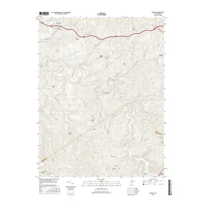
2016 Map of Herold
USGS Topo · Published 2016About this map
The Birch River meanders through the heart of this central West Virginia landscape, joined by numerous tributaries including the Little Birch River and Strange Creek. The terrain is defined by prominent ridges such as Keener Ridge and Runnion Ridge, where small settlements like Herold and Wade are situated. Near the Nicholas County line, the Blue Hole serves as a notable landmark along the river's course.
Find a feature on this map
59 named features on this map. Tap any name to fly to it.
Don’t see what you’re looking for? This feature index may not catch every label — zoom into the map to look around manually.
Map Details
Editions of this 2016 Herold Map
This is the sole edition of this map. No revisions or reprints were ever made.
Other maps of this area

1889 · Nicholas
USGS Topo · 1:125,000

1891 · Nicholas
USGS Topo · 1:125,000

1893 · Sutton
USGS Topo · 1:125,000

1901 · Nicholas
USGS Topo · 1:125,000

1908 · Gassaway
USGS Topo · 1:48,000

1908 · Sutton
USGS Topo · 1:48,000

1910 · Sutton Special
USGS Topo · 1:62,500

1910 · Gassaway
USGS Topo · 1:62,500

1913 · Summersville
USGS Topo · 1:48,000

1915 · Cowen
USGS Topo · 1:48,000