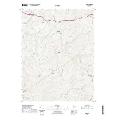
2019 Map of Herold
USGS Topo · Published 2019About this map
The Birch River and Elk River wind through the deeply dissected plateau of Central West Virginia, where small settlements like Herold and Wade follow the narrow valley floors. This 2019 survey documents the intricate network of secondary roads and ridges that define the landscape along the border of Braxton and Nicholas counties. For local historians and genealogists, the map provides precise locations for several rural burial grounds, including the Tinnel/Mollohan Family Cem, Walker Cem, and Canfield Cem.
Find a feature on this map
98 named features on this map. Tap any name to fly to it.
Don’t see what you’re looking for? This feature index may not catch every label — zoom into the map to look around manually.
Map Details
Editions of this 2019 Herold Map
This is the sole edition of this map. No revisions or reprints were ever made.
Other maps of this area

1889 · Nicholas
USGS Topo · 1:125,000

1891 · Nicholas
USGS Topo · 1:125,000

1893 · Sutton
USGS Topo · 1:125,000

1901 · Nicholas
USGS Topo · 1:125,000

1908 · Gassaway
USGS Topo · 1:48,000

1908 · Sutton
USGS Topo · 1:48,000

1910 · Sutton Special
USGS Topo · 1:62,500

1910 · Gassaway
USGS Topo · 1:62,500

1913 · Summersville
USGS Topo · 1:48,000

1915 · Cowen
USGS Topo · 1:48,000