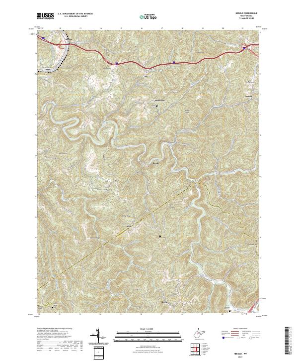
2023 Map of Herold
USGS Topo · Published 2023About this map
The Elk River and Birch River carve through the central West Virginia highlands, defining the landscape around the settlements of Herold and Middle Run. This area, situated along the Braxton Co and Nichols Co line, reflects a long history of family settlement in the steep valleys and along winding ridges like Keener Ridge and Runnion Ridge. Genealogy is a primary focus of the data, with several established burial grounds including Middle Run Cem, Walker Cem, and the Tinnel-Mollohan Family Cem providing clear markers of local lineage and early family homesteads. The New Hope Church near Morris serves as a social landmark among the network of rural roads such as Reunion Ridge RD and Frametown-Herold RD. Smaller water features like Strange Creek and Blue Hole punctuate the river systems, showing the enduring reliance on the local watershed for both navigation and community layout.
Find a feature on this map
81 named features on this map. Tap any name to fly to it.
Don’t see what you’re looking for? This feature index may not catch every label — zoom into the map to look around manually.
Map Details
Editions of this 2023 Herold Map
This is the sole edition of this map. No revisions or reprints were ever made.
Other maps of this area

1889 · Nicholas
USGS Topo · 1:125,000

1891 · Nicholas
USGS Topo · 1:125,000

1893 · Sutton
USGS Topo · 1:125,000

1901 · Nicholas
USGS Topo · 1:125,000

1908 · Gassaway
USGS Topo · 1:48,000

1908 · Sutton
USGS Topo · 1:48,000

1910 · Sutton Special
USGS Topo · 1:62,500

1910 · Gassaway
USGS Topo · 1:62,500

1913 · Summersville
USGS Topo · 1:48,000

1915 · Cowen
USGS Topo · 1:48,000