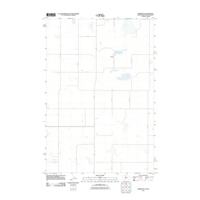
2011 Map of Herreid NE
USGS Topo · Published 2011About this map
Nieuwsma Lake and its associated Nieuwsma Dam form the geographic center of this rural landscape on the South Dakota and North Dakota border. The terrain is defined by a sparse grid of section roads, where established routes like 100th St and 307th Ave segment the prairie into large agricultural tracts. The map illustrates a transitional water system in an arid region, with numerous small, unnamed basins and seasonal wetlands scattered throughout the northern sections. This 2011 survey by the U.S. Geological Survey reflects the enduring agricultural character of the borderlands, where human presence is marked primarily by this extensive road network, including 13th Ave SE and 103rd St, which provide access to the remote farmsteads and fields of the Great Plains.
Find a feature on this map
18 named features on this map. Tap any name to fly to it.
Don’t see what you’re looking for? This feature index may not catch every label — zoom into the map to look around manually.
Map Details
Editions of this 2011 Herreid NE Map
This is the sole edition of this map. No revisions or reprints were ever made.
Other maps of this area

1953 · Jamestown
USGS Topo · 1:250,000

1953 · McIntosh
USGS Topo · 1:250,000

1954 · Aberdeen
USGS Topo · 1:250,000

1954 · Bismarck
USGS Topo · 1:250,000

1956 · Aberdeen
USGS Topo · 1:250,000

1956 · Jamestown
USGS Topo · 1:250,000

1958 · Bismarck
USGS Topo · 1:250,000

1958 · McIntosh
USGS Topo · 1:250,000

1965 · Herreid NW
USGS Topo · 1:24,000

1965 · Herreid SW
USGS Topo · 1:24,000