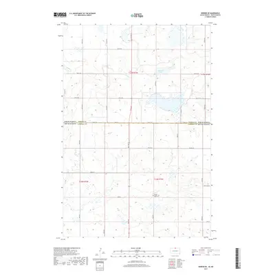
2017 Map of Herreid NE
USGS Topo · Published 2017About this map
The Holland Pioneer - Van Raalte Cem serves as a central landmark in this rural landscape, situated just south of the state line. This portion of the northern plains, surveyed in 2017, showcases a strictly gridded section-line road network that transitions across the border between Emmons County, North Dakota and Campbell County, South Dakota. The presence of Nieuwsma Lake in the north provides a significant water feature amidst the agricultural sections, while localized road names like Zeeland Rd and Bridgewater Pl suggest the historical settlement patterns and community connections of the region. The landscape is characterized by its high-density wetland basins and small depressions, typical of the glacial pothole region, which are scattered throughout the sections south of the state line.
Find a feature on this map
31 named features on this map. Tap any name to fly to it.
Don’t see what you’re looking for? This feature index may not catch every label — zoom into the map to look around manually.
Map Details
Editions of this 2017 Herreid NE Map
This is the sole edition of this map. No revisions or reprints were ever made.
Other maps of this area

1953 · Jamestown
USGS Topo · 1:250,000

1953 · McIntosh
USGS Topo · 1:250,000

1954 · Aberdeen
USGS Topo · 1:250,000

1954 · Bismarck
USGS Topo · 1:250,000

1956 · Aberdeen
USGS Topo · 1:250,000

1956 · Jamestown
USGS Topo · 1:250,000

1958 · Bismarck
USGS Topo · 1:250,000

1958 · McIntosh
USGS Topo · 1:250,000

1965 · Herreid NW
USGS Topo · 1:24,000

1965 · Herreid SW
USGS Topo · 1:24,000