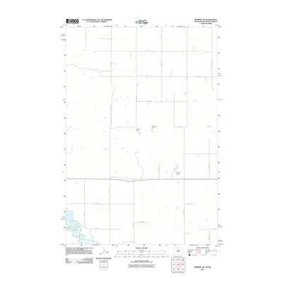
2011 Map of Herreid NW
USGS Topo · Published 2011About this map
Lake Pocasse dominates the southwestern corner of this northern plains landscape, where the waters of the Missouri River basin meet the high agricultural plateaus of Campbell County. The map details a sophisticated network of local water management infrastructure essential to the region's ranching and farming operations, including the M Vikse Dam, G Renner Dam, and Chester Dam. These features, often named for the local families who managed the land, illustrate the transition from open range to the structured Section, Township, and Range system. The grid of rural roads, such as Reierson Pl and 299th Ave, provides a clear view of the territorial organization in this South Dakota borderland during the early twenty-first century.
Find a feature on this map
23 named features on this map. Tap any name to fly to it.
Don’t see what you’re looking for? This feature index may not catch every label — zoom into the map to look around manually.
Map Details
Editions of this 2011 Herreid NW Map
This is the sole edition of this map. No revisions or reprints were ever made.
Other maps of this area

1953 · McIntosh
USGS Topo · 1:250,000

1954 · Bismarck
USGS Topo · 1:250,000

1958 · Bismarck
USGS Topo · 1:250,000

1958 · McIntosh
USGS Topo · 1:250,000

1965 · Herreid NW
USGS Topo · 1:24,000

1965 · Herreid SW
USGS Topo · 1:24,000

1965 · Herreid NE
USGS Topo · 1:24,000

1965 · Herreid
USGS Topo · 1:24,000

1965 · Pollock SE
USGS Topo · 1:24,000

1965 · Pollock
USGS Topo · 1:24,000