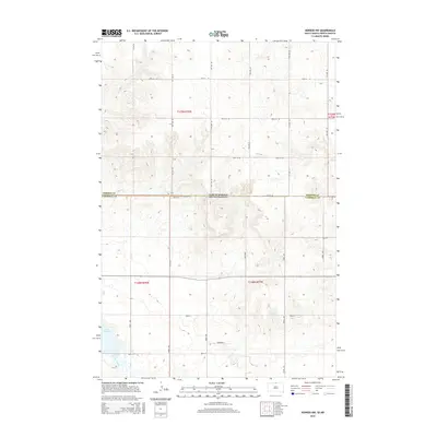
2015 Map of Herreid NW
USGS Topo · Published 2015About this map
The state line between Emmons County, North Dakota and Campbell County, South Dakota bisects this prairie landscape, where the Jeffersonian grid system is deeply etched into the topography. The terrain is characterized by a series of north-south and east-west thoroughfares, including 299th Ave and 100th St SE, which define the agricultural sections of this Great Plains region. In the southwestern corner, the drainage of Spring Creek feeds into the edge of Lake Pocasse, providing a rare water source and topological break in an otherwise rhythmic landscape of upland rises. Named roads like Reierson Pl suggest the historical family footprints that shaped these townships in the mid-20th century, offering a specific look at the rural road network at the time of this 2015 survey.
Find a feature on this map
28 named features on this map. Tap any name to fly to it.
Don’t see what you’re looking for? This feature index may not catch every label — zoom into the map to look around manually.
Map Details
Editions of this 2015 Herreid NW Map
This is the sole edition of this map. No revisions or reprints were ever made.
Other maps of this area

1953 · McIntosh
USGS Topo · 1:250,000

1954 · Bismarck
USGS Topo · 1:250,000

1958 · Bismarck
USGS Topo · 1:250,000

1958 · McIntosh
USGS Topo · 1:250,000

1965 · Herreid NW
USGS Topo · 1:24,000

1965 · Herreid SW
USGS Topo · 1:24,000

1965 · Herreid NE
USGS Topo · 1:24,000

1965 · Herreid
USGS Topo · 1:24,000

1965 · Pollock SE
USGS Topo · 1:24,000

1965 · Pollock
USGS Topo · 1:24,000