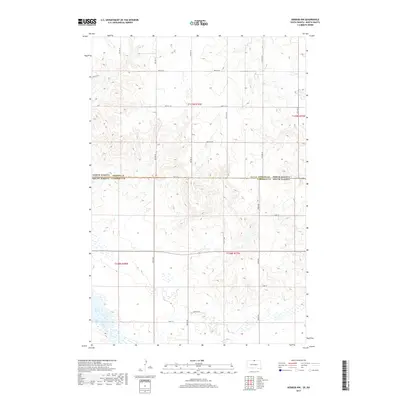
2017 Map of Herreid NW
USGS Topo · Published 2017About this map
The state line between North Dakota and South Dakota bisects this 2017 survey, revealing a landscape defined by the drainage patterns of the Missouri River plateau. In the southwest corner, the waters of Lake Pocasse and the winding course of Spring Creek provide the primary geographic focus, contrasting with the high-relief terrain to the north and east. This area of Campbell County and Emmons County is characterized by a precise grid of rural section roads, such as 100th St SE and 10th Ave SE, which navigate the various coulees and depressions common to this prairie region. One localized landmark, Reierson Pl, sits among the complex wetland signatures near the creek, illustrating the intersection of family-named landholdings and the natural hydrology of the Dakotas.
Find a feature on this map
27 named features on this map. Tap any name to fly to it.
Don’t see what you’re looking for? This feature index may not catch every label — zoom into the map to look around manually.
Map Details
Editions of this 2017 Herreid NW Map
This is the sole edition of this map. No revisions or reprints were ever made.
Other maps of this area

1953 · McIntosh
USGS Topo · 1:250,000

1954 · Bismarck
USGS Topo · 1:250,000

1958 · Bismarck
USGS Topo · 1:250,000

1958 · McIntosh
USGS Topo · 1:250,000

1965 · Herreid NW
USGS Topo · 1:24,000

1965 · Herreid SW
USGS Topo · 1:24,000

1965 · Herreid NE
USGS Topo · 1:24,000

1965 · Herreid
USGS Topo · 1:24,000

1965 · Pollock SE
USGS Topo · 1:24,000

1965 · Pollock
USGS Topo · 1:24,000