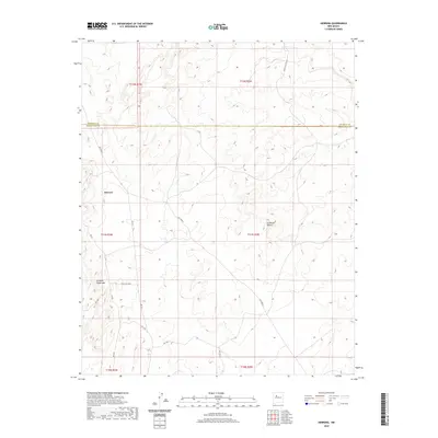
2020 Map of Herrera
USGS Topo · Published 2020About this map
The Rio Puerco drainage carves through the high desert landscape of the Eastern Navajo Agency, defining the hydrology and terrain of this region. The settlement of Herrera sits on the western side of the map, served by a network of regional and tribal routes including Rte 54 and Trl 56. Distinctive geological formations like La Mesita Blanca and La Mesa Quebrada dominate the center and southwest, illustrating the erosional character of the Rio Puerco valley. The boundary between Sandoval and Bernalillo counties bisects the northern third of the area, while a complex system of administrative roads, such as Indian Svc Rte 48 and Tribal Rd N7077, provides modern access to this traditional landscape. This topographic record captures the transition from traditional trails to designated tribal service routes in a region of deep significance.
Find a feature on this map
20 named features on this map. Tap any name to fly to it.
Don’t see what you’re looking for? This feature index may not catch every label — zoom into the map to look around manually.
Map Details
Editions of this 2020 Herrera Map
This is the sole edition of this map. No revisions or reprints were ever made.
Other maps of this area

1883 · Mt. Taylor
USGS Topo · 1:250,000

1886 · Mt. Taylor
USGS Topo · 1:250,000

1888 · Bernalillo
USGS Topo · 1:125,000

1889 · Albuquerque
USGS Topo · 1:125,000

1892 · Mt. Taylor
USGS Topo · 1:250,000

1893 · Albuquerque
USGS Topo · 1:125,000

1899 · Mt. Taylor
USGS Topo · 1:250,000

1954 · Herrera
USGS Topo · 1:24,000

1954 · Sky Village
USGS Topo · 1:24,000

1954 · Canoncito School
USGS Topo · 1:24,000