
1954 Map of Sky Village
USGS Topo · Published 1955About this map
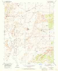
San Felipe Mesa dominates this 1950s landscape, where the remnants of former habitations are recorded as the Sky Village (Ruins) and San Francisco (Ruins). The terrain is defined by a network of drainage systems, including Arroyo Bernardo and Arroyo Navajo, which feed toward the meandering Rio Puerco. This era shows the land utilized for ranching, with established sites such as Collier Ranch, Sandoval Ranch, and Alamo Ranch distributed across the territory.
Find a feature on this map
30 named features on this map. Tap any name to fly to it.
Don’t see what you’re looking for? This feature index may not catch every label — zoom into the map to look around manually.
Map Details
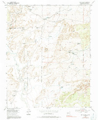
Editions of this 1954 Sky Village Map
Other maps of this area

1883 · Mt. Taylor
USGS Topo · 1:250,000

1886 · Mt. Taylor
USGS Topo · 1:250,000

1888 · Bernalillo
USGS Topo · 1:125,000

1889 · Albuquerque
USGS Topo · 1:125,000

1892 · Mt. Taylor
USGS Topo · 1:250,000

1893 · Albuquerque
USGS Topo · 1:125,000

1899 · Mt. Taylor
USGS Topo · 1:250,000

1954 · Herrera
USGS Topo · 1:24,000

1954 · Volcano Ranch
USGS Topo · 1:24,000
1954 · Sky Village SE
USGS Topo · 1:24,000