
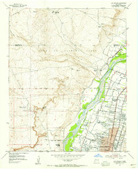
1954 Map of Volcano Ranch
USGS Topo · Published 1955About this map
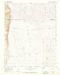
The Volcanoes dominate this arid landscape on the western edge of the Rio Grande valley during the mid-1950s. The map illustrates a transitional space defined by massive Spanish land grants, including the Town of Alameda Grant and the Town of Atrisco Grant, which preserved large tracts of open range before the eventual expansion of Albuquerque. High points like VABM Vulcan 6033 and VABM Meda 6293 provide surveying benchmarks across the volcanic escarpment.
Find a feature on this map
15 named features on this map. Tap any name to fly to it.
Don’t see what you’re looking for? This feature index may not catch every label — zoom into the map to look around manually.
Map Details
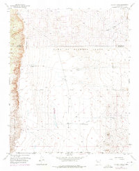
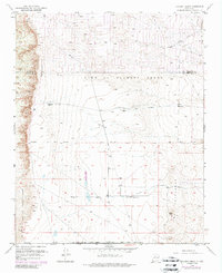
Editions of this 1954 Volcano Ranch Map
4 editions found
Other maps of this area

1888 · Bernalillo
USGS Topo · 1:125,000

1889 · Albuquerque
USGS Topo · 1:125,000

1893 · Albuquerque
USGS Topo · 1:125,000

1934 · West Albuquerque
USGS Topo · 1:24,000

1934 · Griegos
USGS Topo · 1:24,000

1938 · Albuquerque
USGS Topo · 1:62,500

1954 · Loma Machete
USGS Topo · 1:24,000

1954 · Sky Village
USGS Topo · 1:24,000
1954 · Sky Village SE
USGS Topo · 1:24,000
1954 · Los Griegos
USGS Topo · 1:24,000