
1954 Map of Loma Machete
USGS Topo · Published 1955About this map
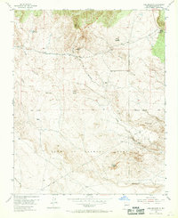
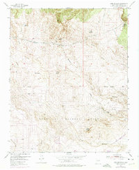
The Town of Alameda Grant dominates the southern landscape of this mid-century topographic study, revealing a complex network of ephemeral drainages and land divisions in Sandoval County. The terrain is characterized by numerous prominent mesas and peaks, including Picuda Peak, Loma Machete, and Loma Colorado de Abajo, which rise above the intricate system of arroyos. Water management and infrastructure are evident through the presence of a mapped Aqueduct, several Pipe Lines, and scattered features like a Windmill and a Water Tank, reflecting the challenges of this arid environment.
Find a feature on this map
18 named features on this map. Tap any name to fly to it.
Don’t see what you’re looking for? This feature index may not catch every label — zoom into the map to look around manually.
Map Details
Editions of this 1954 Loma Machete Map
Other maps of this area

1888 · Bernalillo
USGS Topo · 1:125,000

1889 · Albuquerque
USGS Topo · 1:125,000

1893 · Albuquerque
USGS Topo · 1:125,000

1934 · Alameda
USGS Topo · 1:24,000

1934 · Griegos
USGS Topo · 1:24,000

1938 · Albuquerque
USGS Topo · 1:62,500

1953 · Bernalillo NW
USGS Topo · 1:24,000

1954 · Alameda
USGS Topo · 1:24,000

1954 · Volcano Ranch
USGS Topo · 1:24,000
1954 · Sky Village SE
USGS Topo · 1:24,000